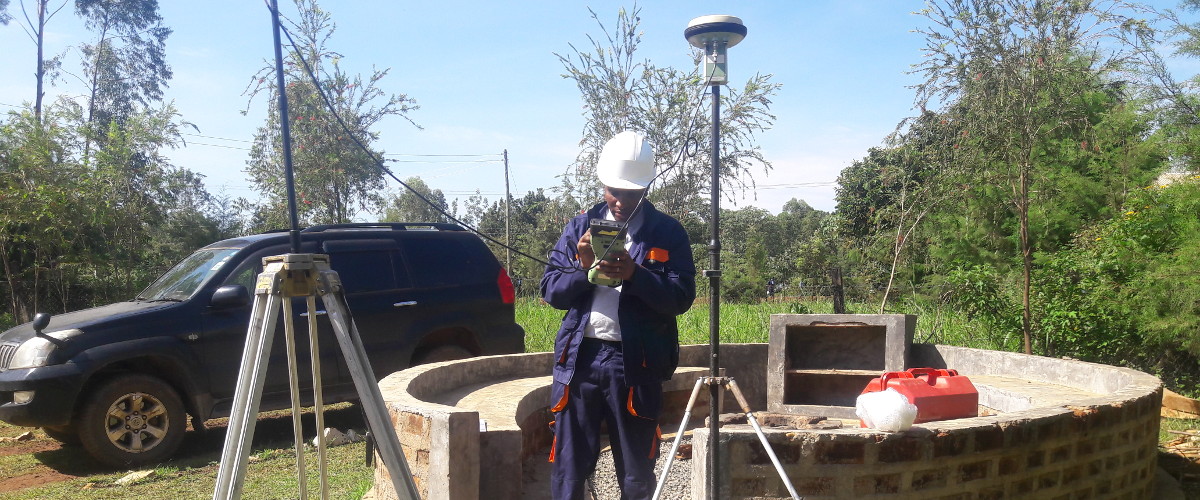
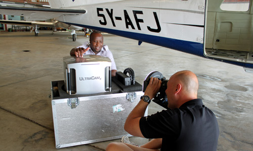
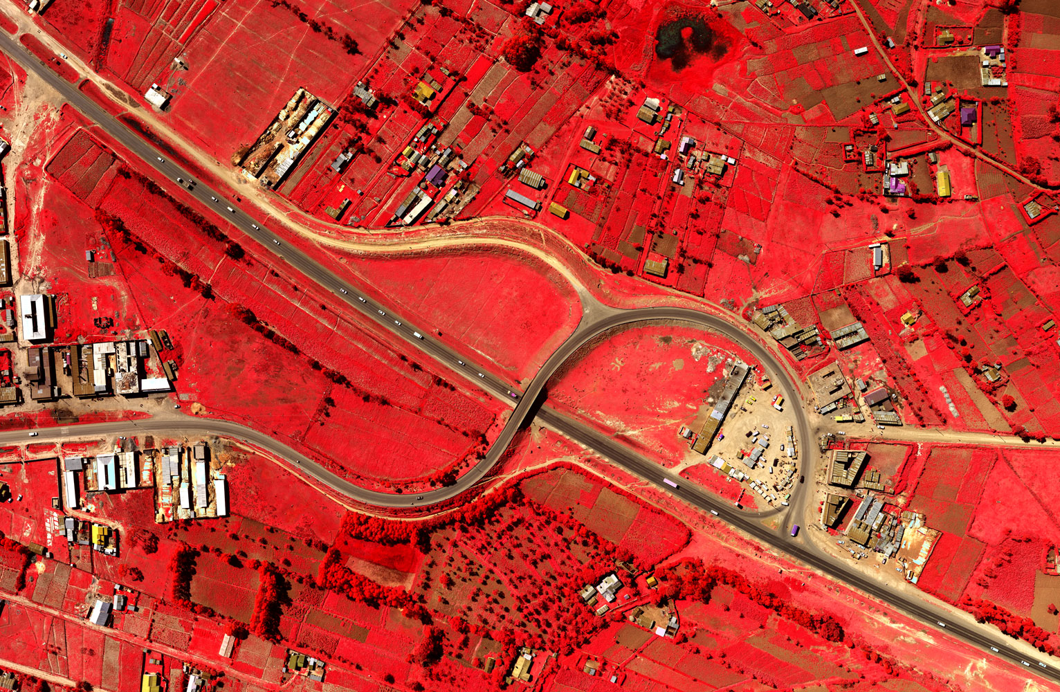
Ramani is a team of professionals working together to provide aerial survey, aerial LiDAR, land services and GIS mapping solutions through cutting edge technology in a robust environment.


Ramani strives to provide you with world class spatial data solutions and products through its professional workflows and staff in line with::
- Great client relationship
- Dedicated expertise
- Years of industry experience
- Strong partner networks
- Promise of quality delivery
About our company

Company life
Innovation. Collaboration. Challenging work. Growth. Fun. You will find all this and much more at Ramani.
Our culture is anything but boring, we have a place to thrive: collaborative, diverse; fun work culture; a relaxed dress code; and open-door policies.

Our warm reception ensures our visitors get the best first impression that will last.

We take time off sometimes to build our team synergy and synchronize efforts.
Ramani serves best through its people, technology and equipment.
Leadership

Daniel Haywood Managing Director, Ramani Geosystems
Daniel founded Ramani Geosystems in 1999 and has over 15 years of experience in the survey and mapping sector and extensive experience in all aspects of land and aerial surveys and photogrammetry.
Daniel holds a BSc degree from the University of Newcastle in England and previously worked in the Telecoms and IT industry in London for several years before starting Ramani.

Wycliffe Abiero (MISK) Managing Director, Ramani Land Services
Wycliffe Abiero joined Ramani in 2003 and has built the land services profile since joining the company. Wycliffe is a fully qualified engineering surveyor with an MBA and vast experience in all land {onshore and offshore} surveys combined with geospatial technology.
Wycliffe is also an active full member of ISK (Institution of Surveyors of Kenya) and sits on the council as secretary to the Engineering Surveyors Chapter.
About Ramani
Putting Africa on the Map with professional land surveying, aerial photography, aerial LiDAR, online spatial data and GIS and mapping services.

Contact Us
P.O. Box 15353 - 00509, Nairobi, Kenya.
Wilken House, Wilson Airport, Langata Road
Mobile: +254 (0)722 200 616
Email: info@ramani.co.ke
Uganda Office
P.O. Box 21759, Kampala, Uganda.
Plot 30 Kanjokya Street
Mobile: +256 773 261 995
Email: info@ramani.co.ug
Stay Connected
2017 © Ramani Geosystems. ALL Rights Reserved. Privacy Policy | Terms of Service