Ramani is one of the leading companies in East Africa providing aerial photography to meet the industry’s needs. Based strategically at Nairobi’s Wilson Airport, we are able to offer timely aerial photography regardless of location. Our aerial photography package offers a choice of the Microsoft Ultracam X and Leica RDC30 operated by 2 remote sensing experts, 2 full time pilots and 2 wholly owned aircraft.
This solution is a relatively cheap and effective remote sensing methodideal for large scale area projects that require high resolution orthomosaics and accurate elevation models within tight timelines.
We provide project based aerial photography acquisition and on-demand high resolution imagery from our spatial library known as Citi Data.
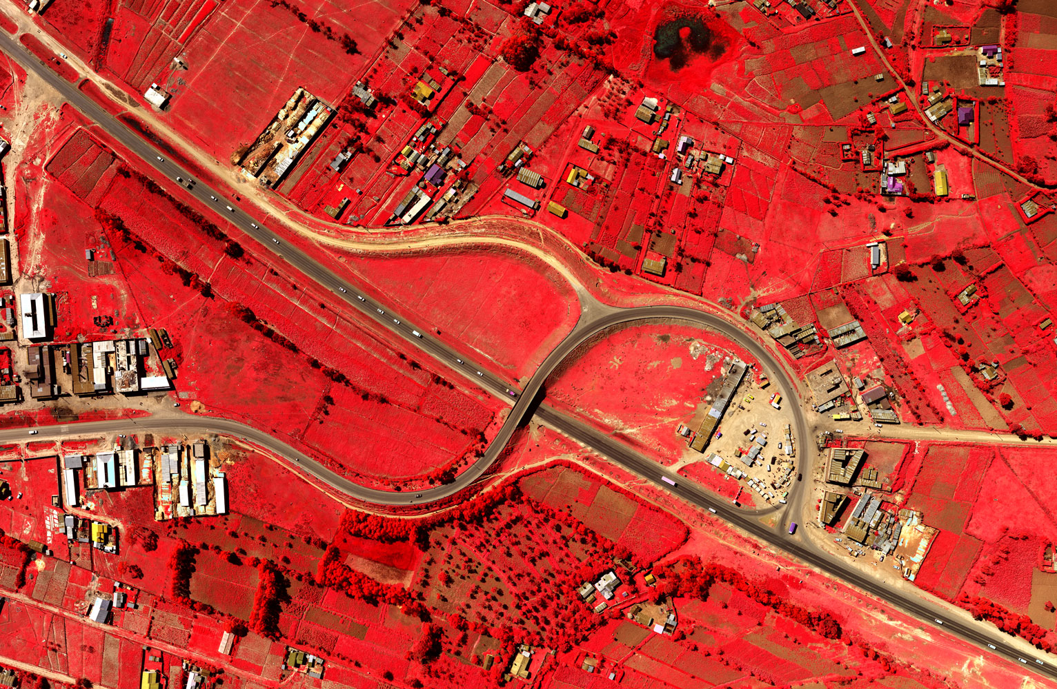
Aerial photography gives the advantages of high resolution and current pictorial view of an area, accessibility to areas which would be otherwise difficult to reach, and relative fast data capture. Applications include:-
-
Engineering planning and design
-
Transportation planning and design
-
Floodplain mapping
-
Change detection
-
Land use planning and mapping
-
Urban mapping and planning
About Ramani
Putting Africa on the Map with professional land surveying, aerial photography, aerial LiDAR, online spatial data and GIS and mapping services.

Contact Us
P.O. Box 15353 - 00509, Nairobi, Kenya.
Wilken House, Wilson Airport, Langata Road
Mobile: +254 (0)722 200 616
Email: info@ramani.co.ke
Uganda Office
P.O. Box 21759, Kampala, Uganda.
Plot 30 Kanjokya Street
Mobile: +256 773 261 995
Email: info@ramani.co.ug
Stay Connected
2017 © Ramani Geosystems. ALL Rights Reserved. Privacy Policy | Terms of Service