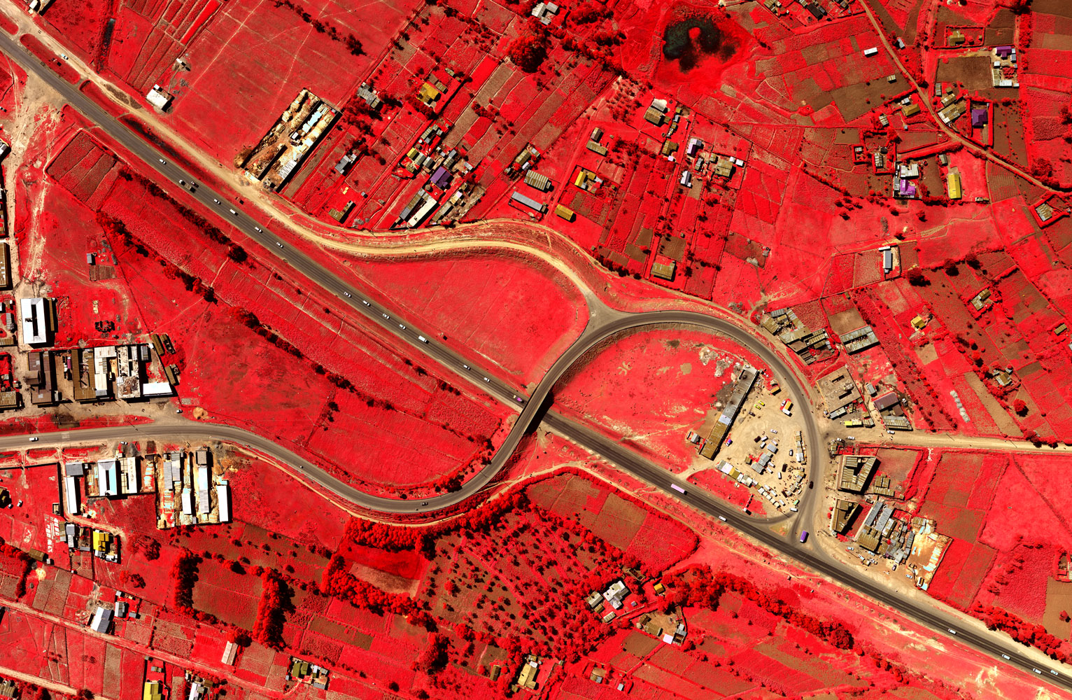
 Ramani ONLINE is a subscription service that provides access to a huge repository of spatial data. What makes Ramani Online unique is all this data can be accessed, managed, and manipulated without the use of any special software; all that is required is an internet connection and you can have Maps at Your Fingertips!
The layers available on Ramani Online include:
|
|
The data on Ramani Online is updated periodically and available in these 5 subscription tiers:
- Enterprise
- Platinum
- Gold
- Silver
- Bronze
About Ramani
Putting Africa on the Map with professional land surveying, aerial photography, aerial LiDAR, online spatial data and GIS and mapping services.

Contact Us
P.O. Box 15353 - 00509, Nairobi, Kenya.
Wilken House, Wilson Airport, Langata Road
Mobile: +254 (0)722 200 616
Email: info@ramani.co.ke
Uganda Office
P.O. Box 21759, Kampala, Uganda.
Plot 30 Kanjokya Street
Mobile: +256 773 261 995
Email: info@ramani.co.ug
Stay Connected
2017 © Ramani Geosystems. ALL Rights Reserved. Privacy Policy | Terms of Service