
Ramani Land Services is a recognized leader in the field of land survey solutions offering exceptional services to land developers, farmers, engineering contractors, property owners, legal and financial representatives, public utilities, and real estate developers, among others.
Services:
|
|
We meet this broad spectrum of surveying and engineering needs by offering high-quality work within reliable turnaround timelines, and in unparalleled professionalism.
Terrestrial LiDAR
Among the various unique survey services, Ramani also undertakes Terrestrial Laser Scanning services throughout Eastern Africa. Applications such as open mine pit surveys, stockpile computations, heritage and archeology benefit immensely from this solution.
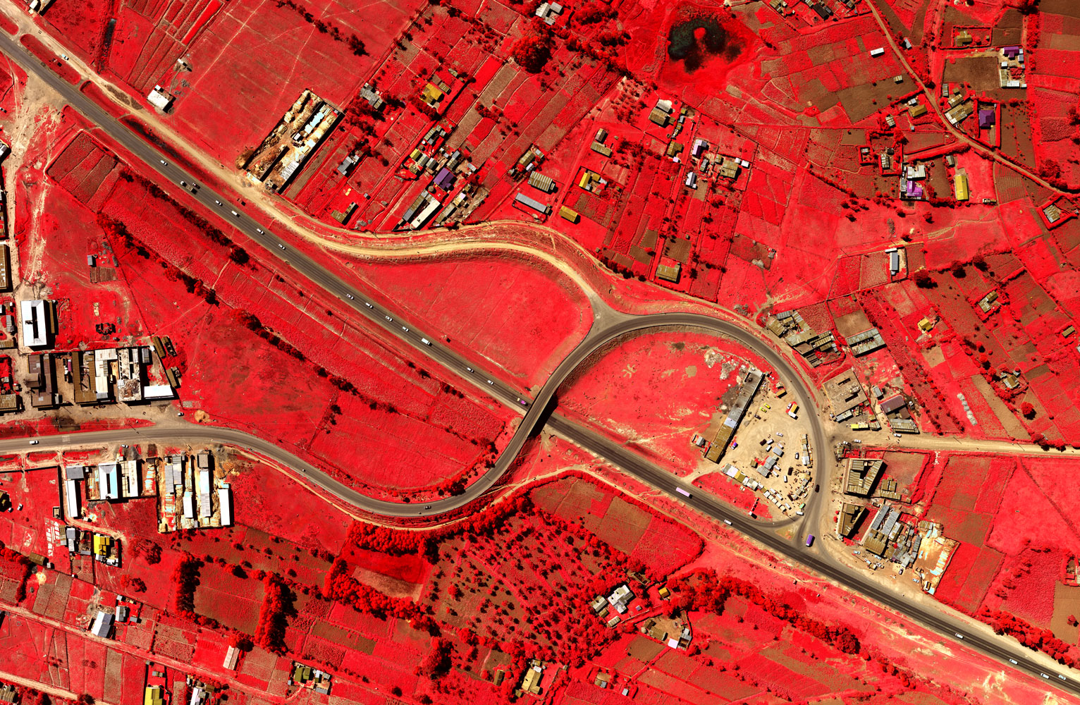
About Ramani
Putting Africa on the Map with professional land surveying, aerial photography, aerial LiDAR, online spatial data and GIS and mapping services.

Contact Us
P.O. Box 15353 - 00509, Nairobi, Kenya.
Wilken House, Wilson Airport, Langata Road
Mobile: +254 (0)722 200 616
Email: info@ramani.co.ke
Uganda Office
P.O. Box 21759, Kampala, Uganda.
Plot 30 Kanjokya Street
Mobile: +256 773 261 995
Email: info@ramani.co.ug
Stay Connected
2017 © Ramani Geosystems. ALL Rights Reserved. Privacy Policy | Terms of Service