Citi Data® by Ramani
Off-the-shelf aerial imagery and products for your organisation
Available for major cities in Kenya and Uganda
2019 imagery of Nairobi and Mombasa now available.
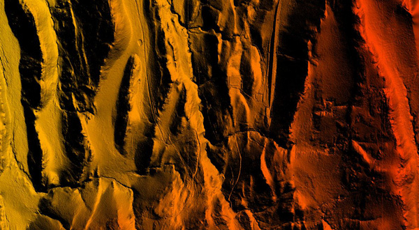
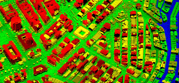
Aerial LiDAR
A LiDAR point cloud coloured by intensity of
Nairobi, Kenya
Captured: January 2016, LiDAR System – Leica ALS60
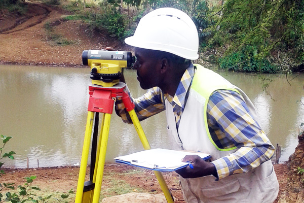
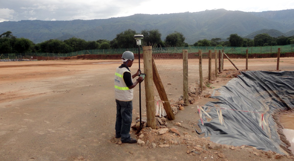
Ramani Land Services
Topographical engineering survey, bathymetric survey,
cadastral services, field mapping, terrestrial scanning,
and control survey using modern survey equipment.
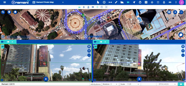
Ramani Online
The Online Platform for hosting
and accessing your geospatial data and
Ramani’s extensive library.
Ramani Uganda
Experience Ramani Uganda in the Vibrant
City of Kampala.
Plot 30 Kanjokya street.
Putting Africa on the map through aerial photography and LiDAR survey, land survey, GIS mapping, and online solutions.
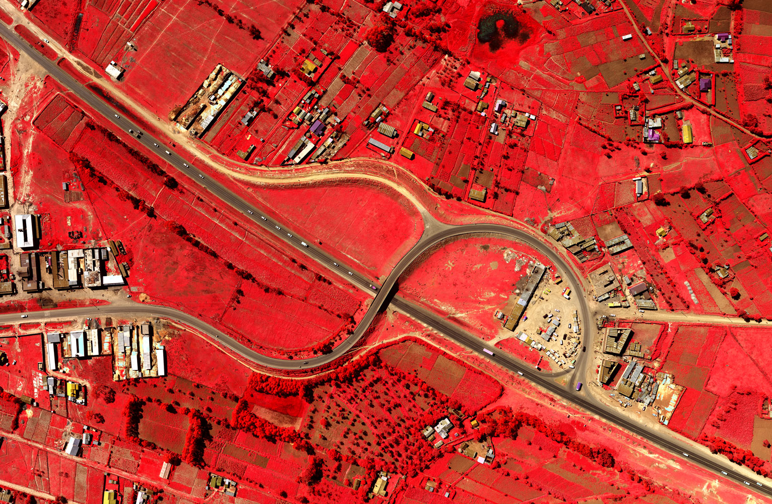
Aerial Solutions
Very accurate aerial photography and LiDAR survey to provide high-resolution products within the required timelines. timelines. On request, full LiDAR and aerial photography is done to provide very accurate, tailor-made products.
Read MoreLand Services
Ramani Land Services provides terrestrial survey services that combine professional staff, state of the art equipment, and software to offer the full suite of topographical, engineering, control surveys, bathymetric survey, terrestrial LiDAR scanning
Read MoreGIS & Mapping
Customized GIS solutions, consultancy and implementation is offered together with a range of satellite and aerial imagery, LiDAR data from Ramani’s intellectual property library, and related vector products.
Read MoreRamani Online
Ramani Online is a solution specially designed to address two key needs of spatial data users; Data and Access. Ramani Online allows users to easily access high resolution data collected and collated over the years.
Read MoreWelcome To Ramani

For over 19 years, we have realised that the needs of the industry change and grow at a fast rate and we need to serve these demands.
At Ramani, lateral thinking combined with experience and expertise has helped us to continually innovate and develop cutting edge solutions and services. We also continually invest in new technology and skill development to best serve the needs of our clients and the industry.
- Daniel Haywood, MD Ramani Geosystems
Read MoreOur Clients
About Ramani
Putting Africa on the Map with professional land surveying, aerial photography, aerial LiDAR, online spatial data and GIS and mapping services.

Contact Us
P.O. Box 15353 - 00509, Nairobi, Kenya.
Wilken House, Wilson Airport, Langata Road
Mobile: +254 (0)722 200 616
Email: info@ramani.co.ke
Uganda Office
P.O. Box 21759, Kampala, Uganda.
Plot 30 Kanjokya Street
Mobile: +256 773 261 995
Email: info@ramani.co.ug
Stay Connected
2017 © Ramani Geosystems. ALL Rights Reserved. Privacy Policy | Terms of Service